
Drone Services Take Flight at CRWC
In 2018, the Clinton River was flooded after three days of steady rain. Fox 2 Detroit posted drone video footage of the flood conditions on its Facebook page with the following warning:
“As you watch this, remember how important it is to be aware of your water usage and ways that you can help reduce the impact of flooding when we have such large rain events like this one.”
The use of drones like the one Fox 2 used has the potential to make a major impact on CRWC’s work. With one licensed drone pilot already on staff, CRWC has plans to add one additional pilot.
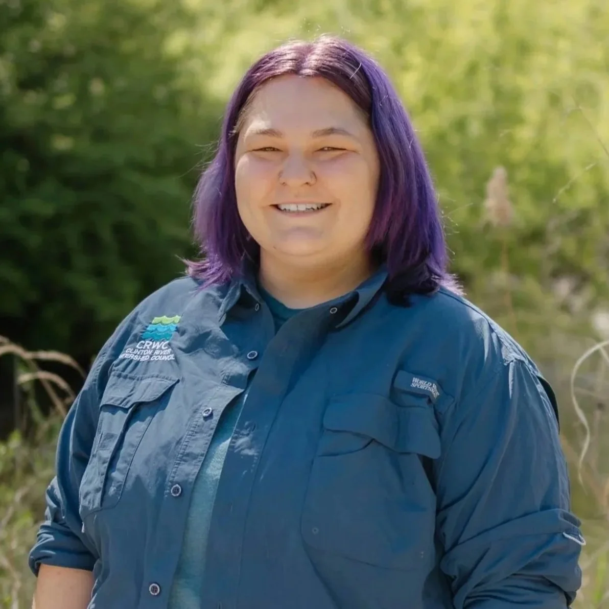
Kaleigh Snoddy, CRWC education and stewardship manager, holds the existing pilot’s license, a credential that is issued by the Federal Aviation Administration (FAA).
I’ll be the second pilot to obtain my license. The license demonstrates that a pilot understands the regulations, operating requirements, and procedures for safely flying drones. Pilots must also pass an aeronautical knowledge exam called "Unmanned Aircraft General – Small (UAG).”
To obtain a certificate, pilots must also be familiar with special regulations; aviation weather; emergency, inspection and communication procedures; airport operations; aircraft performance and maintenance; and more.
CRWC’s drone has a multispectral camera, which utilizes imaging across multiple spectral bands, revealing details that are invisible to standard RGB cameras. This technology will allow CRWC to accurately monitor ecosystems in the watershed.
In the past, drones have also been used to capture footage of Clinton River restoration projects. This footage was used in public education campaigns to help watershed residents understand the importance of restoration work. Drone footage has also been used to survey woody debris conditions in the river.
In an article in “Urban Water Journal” from 2019, Walter McDonald from Marquette University advocated for the increased use of drones in stormwater management. “Cities across the world are struggling to address flooding and water quality pollution from stormwater runoff....” he wrote. “Drones, or Unmanned Aerial Vehicles, are a technology that has the potential to address this challenge through rapid, on- demand, high-resolution data.”
Once we have both are licenses, CRWC will be able to expand its fee-for-service offerings. Organizations will be able to contract with CRWC to provide drone services, helping CRWC diversify its funding sources and increase sustainability.
In the future, potential drone projects may include surveys to identify sites for habitat restoration, invasive species assessments, communications work, woody debris locations and more.
Additional updates on CRWC’s drone program will be ongoing throughout the rest of 2025.