
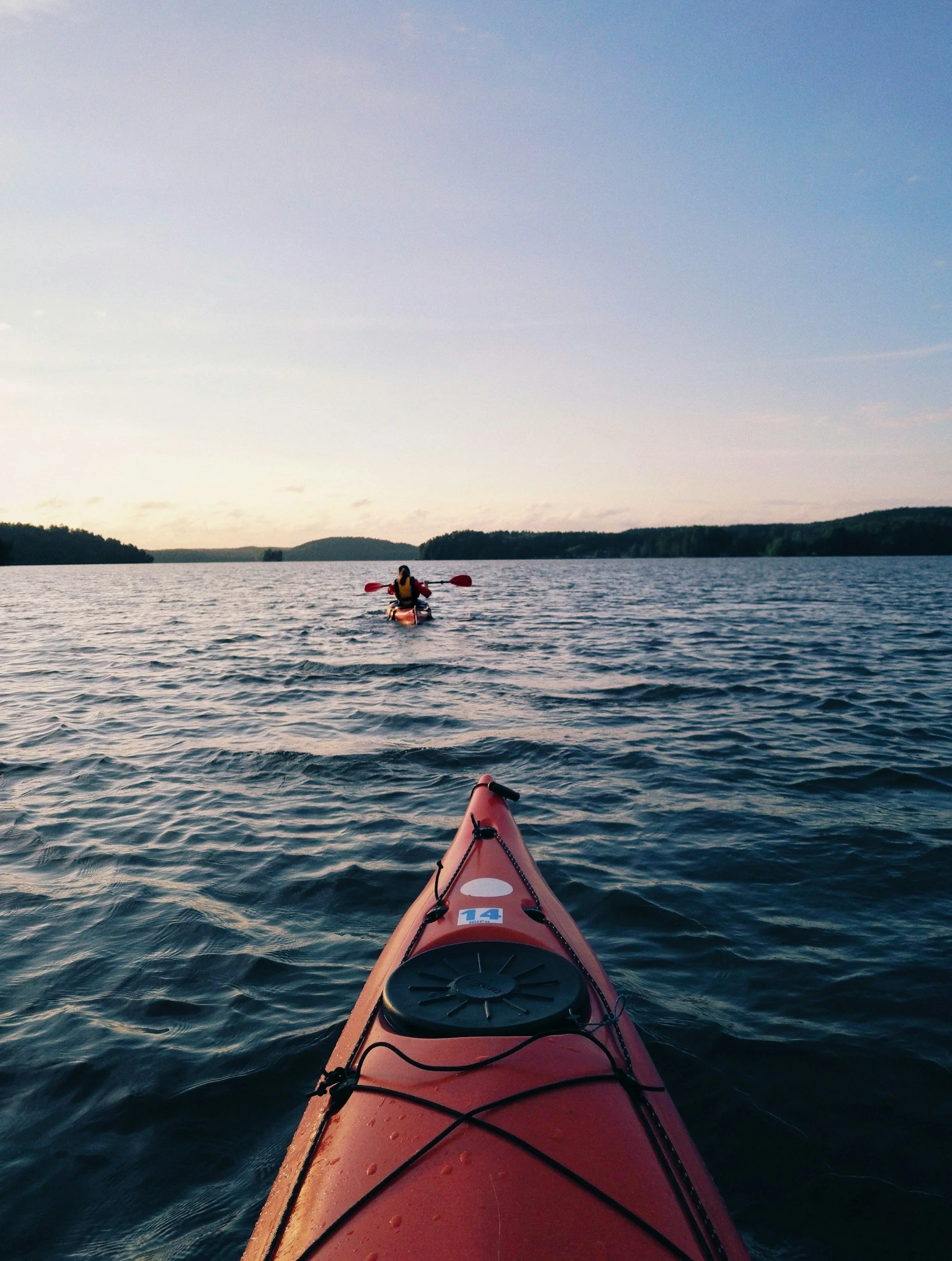
Paddling
PADDLING ON THE CLINTON RIVER
Nestled in the heart of Southeast Michigan, the Clinton River offers a truly engaging paddling experience. Flowing for approximately 80 miles, the Clinton River winds its way through communities, forests, and wetlands, offering paddlers a diverse range of landscapes to explore. From nearly still waters to Class II-III rapids, the Clinton provides something for all skill levels, making it a paddling paradise for beginners and seasoned adventurers alike.

One of the main attractions of the Clinton River is its accessibility. With numerous launch points scattered along its course, you can embark on your paddling journey from various locations, allowing you to tailor your adventure to your preferred distance and duration.
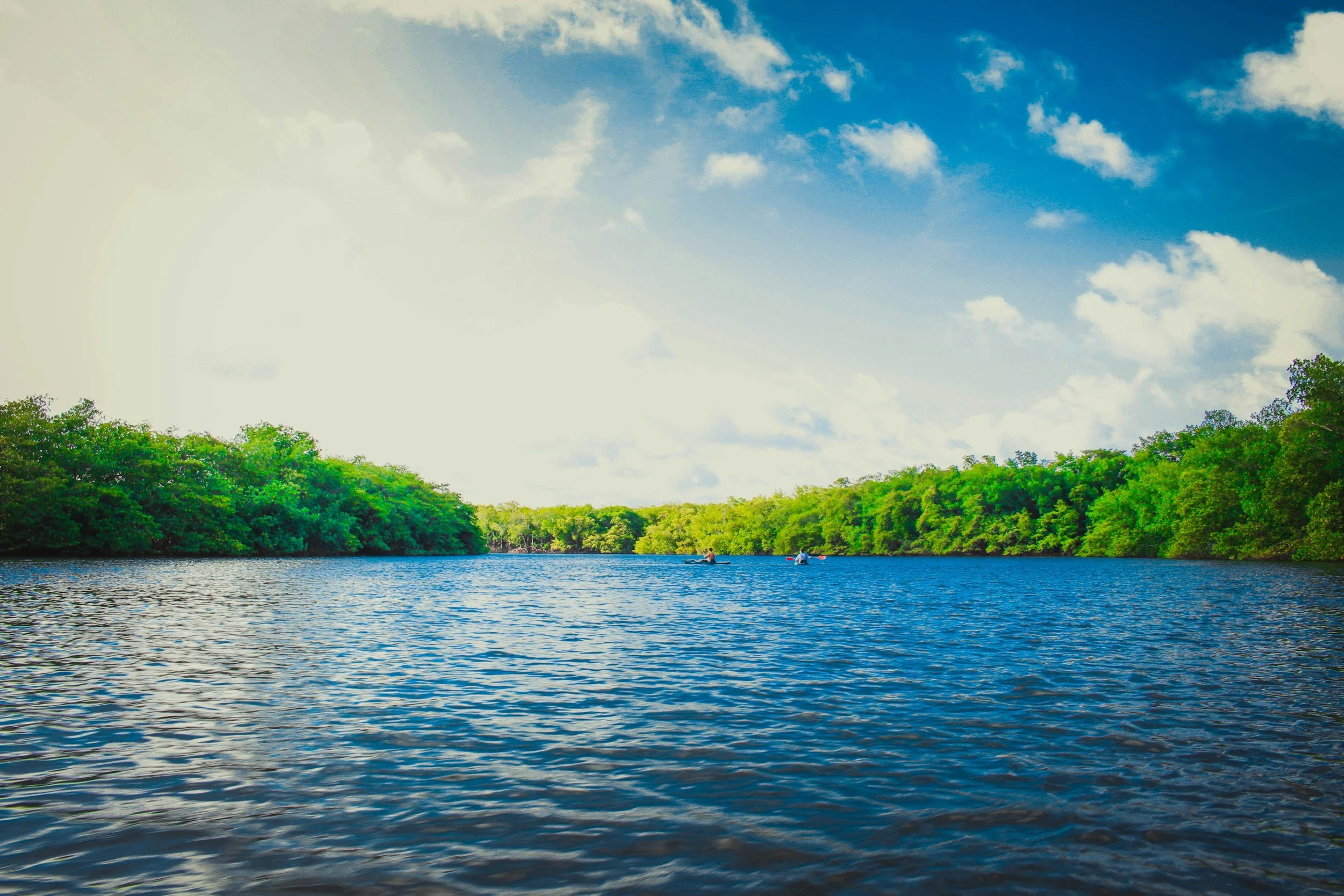
But the beauty of the Clinton River extends beyond its landscapes. As you navigate its meandering path, you will encounter an abundance of wildlife that calls this ecosystem home. Keep your eyes peeled for blue herons gracefully taking flight, beavers constructing their dams, and turtles sunning themselves on logs. You may even spot a deer taking a drink from the river's edge or catch a glimpse of a bald eagle soaring overhead. The Clinton River is a haven for nature enthusiasts, promising opportunities for wildlife observation at every turn.
To enhance your paddling experience, consider exploring the various recreational opportunities that dot the riverbanks. Stop off at one of the many parks or picnic areas along the way, where you can take a break, stretch your legs, cast a fishing line, and enjoy the serene surroundings.
Before setting out on your paddling adventure, it's important to familiarize yourself with safety guidelines and best practices in the outdoors.
Grab your paddle, hop in your kayak or canoe, and embark on an unforgettable journey on your local water trail.


WHAT IS A WATER TRAIL?
A water trail is a designated route along a lake, river, canal, or bay for people using small boats such as kayaks, canoes, stand-up paddleboards, single sailboats or rowboats. Sometimes called “blueways,” water trails are the aquatic equivalent of a hiking trail or “greenway” and feature well-developed access and launch points. Often, water trails are near significant historical, environmental or cultural points of interest and include nearby amenities such as restaurants, hotels, and campgrounds.
The Clinton River Water Trail ranges from steep gradients to slow-moving waters and provides over 72 miles to paddle and enjoy.
Learn more about future plans for the Water Trail in the newly-released 2026 Water Trail Plan.
Download the Clinton River Water Trail Map here or pick up a waterproof hard copy at the CRWC office during business hours.
NEW WATER TRAIL PLAN
Learn more about future plans for improving paddling on the Clinton River. Clinton River Water Trail Plan (2026)
Request CRWC’s “Paddling the Clinton: A History” display for your group, business, or organization by sending an email to shannon@crwc.org.
INTERACTIVE MAPS
These maps are for planning purposes only and may not accurately describe river conditions. There are inherent risks associated with paddling, and river conditions can change very quickly. Know your limits and plan accordingly.
CLINTON RIVER
Flowing for approximately 80 miles, the Clinton River winds its way through communities, forests, and wetlands, offering paddlers a diverse range of landscapes to explore.
HEART OF THE CLINTON
Not for the faint of heart, this challenging section of the Clinton River is not for beginners due to steep gradients, hairpin turns, and fluctuating water levels.
REPORT A LOG JAM
HEADWATERS
Placid and tranquil, the Headwaters of the Clinton River includes beautiful glacial lakes and serene wetlands while offering the opportunity for quiet reflection.
THE LOWER RIVER
Some of the most beautiful sections of the Clinton River, these slow-moving waters stretch through heavily forested riverbanks and parks before emptying into Lake St. Clair.
Found a log jam or obstruction not on the map? Click the button below to let us know.
CLINTON RIVER WATER TRAIL VIDEOS
SAFETY
Anyone wanting to paddle the Clinton River should understand that some sections can be challenging, and the water can run very fast and high, especially after a rain event.
When the river runs high, it carries a lot of woody debris downstream that can block passages and create dangerous hazards.
As a best practice, you should always check the streamflow gauge nearest to the area you are paddling to assess if the river is running high (click the link and scroll down to St. Clair-Detroit Basin).
SOME STRETCHES ARE NOT FOR BEGINNERS
The lower river from Budd Park in Clinton Township downstream to Mt. Clemens is the best stretch for beginners. The upper river in the Chain of Lakes area in Oakland County is also good for beginners.
-
Life vests, helmets, a whistle, a first aid kit, and a phone are standard equipment.
-
Always paddle with at least one other person in a separate boat and do not become separated.
-
Check streamflow at the USGS gauge nearest to your intended trip. Visually check stream flow before you embark, and if the river is too fast for your comfort level, wait until it recedes.
-
Cold water is extremely dangerous. Learn about protecting yourself from hypothermia.
-
Conditions can change rapidly. Be aware of forecasts, and do not go out during thunderstorms or other adverse weather events. Stay alert to changing weather conditions.
-
Make sure you leave enough daylight to comfortably finish your trip.
-
You will likely get wet. Bring a spare change of clothes in a dry bag to avoid hypothermia.
-
Protect your feet from sharp river rocks—always wear footwear.
-
Make sure you know how to swim before embarking on a river trip.
-
To get help, dial 911. Make sure you are aware of your surroundings and can communicate your position to emergency responders.
Know how to recognize the safety signs throughout the Clinton River.
WATER TRAIL SAFETY SIGNS
Signage is posted at several paddle access points along the Clinton River Water Trail. These signs indicate paddlable sections of the river, recommendations for beginners, and provide safety information.
Translated Signs
These signs have also been translated into Spanish and Arabic, the two most spoken languages in the watershed after English.

WATER LEVEL WARNINGS
Water-level warnings are based on minimum and maximum stream heights measured at the United States Geological Survey stream gauge located in Sterling Heights.
Low-water warning: Gauge Height = 8 feet.
High-water warning: Gauge Height = 10 feet
RESOURCES
Interacting with experienced paddlers and river stewards is one of the best ways to learn more about the Clinton River. The Clinton River MI Paddle Group is an online community of local paddlers that can be found on Facebook. CRWC recommends joining the group online if you plan to spend time recreating on the Clinton.
Water Trail Plan
Learn more about future plans for improving paddling on the Clinton River. Clinton River Water Trail Plan (2026)
Request CRWC’s “Paddling the Clinton: A History” display for your group, business, or organization by sending an email to shannon@crwc.org.
Maps, Signs, and Guidebooks
Clinton River Water Trail Guide Book
Lake St. Clair Coastal Water Trail Map
Lake St. Clair Coastal Water Guide Book
Paddling Safety Tips Flyer (English)
Paddling Safety Tips Flyer (Arabic)
Paddling Safety Tips Flyer (Spanish)
Videos
2025 Clinton River Paddling Survey - Paddle the Clinton River with members of the Clinton River Watershed Council staff.
Clinton River Safety Video - Learn how to be safe when paddling on the Clinton River Water Trail.
Clinton River Water Trail - Explore paddling on the Clinton River Water Trail.
Interview Series - Learn about the past, present and future of the Clinton River Water Trail in our.
Outside With Clyde - During the summer of 2020, Clyde paddled the entire length of the Clinton River Water Trail except for the section through Rochester, Michigan (low water conditions). This video series presents his trips along the different sections of the river.
Visit Detroit and Expedition Detroit - take a fall paddle down the Clinton.