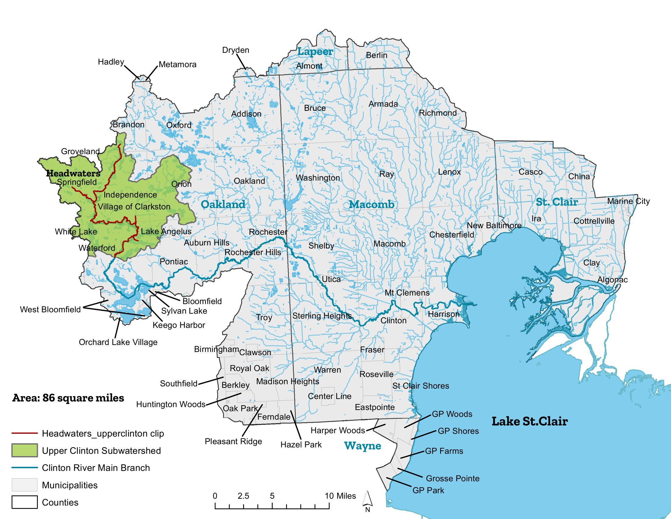

UPPER CLINTON
Work on the Upper Clinton subwatershed management plan began in 2003. For the next two years, communities and stakeholders continued collaboration by completing individual components of the subwatershed management plan. This hard work culminated in the finalizing of the subwatershed management plan in November 2005. Since that time, local governments, community leaders, citizens’ groups, businesses, and environmental organizations have worked together to implement the Upper Clinton subwatershed management plan.
MUNICIPALITIES
Auburn Hills
Brandon Township
Clarkston
Groveland Township
Independence Township
Lake Angelus
Orion Township
Pontiac
Springfield Township
Waterford Township
White Lake Township
AT A GLANCE
Area: Approx. 86 square miles
Counties: Oakland
Population: 279,000
Primary Land Uses:
43% Residential
30% Vacant land
13% Recreation/conservation lands
Open Water: Sashabaw Creek, Clinton River headwaters, and numerous lakes and wetlands